Challenge
To realise the environmental benefits, TfL needed to explore how best to integrate e-scooters into London’s busy infrastructure, with safety the top priority.
Geofencing technology was therefore used to enforce ‘no-go’ and ‘go-slow’ zones, as well as making sure rental e-scooters were parked in their designated bays. To set these no-go and go-slow boundaries, TfL needed to align multiple datasets to an authoritative source of truth – accurate, up-to-date, and relevant location information.
Solution
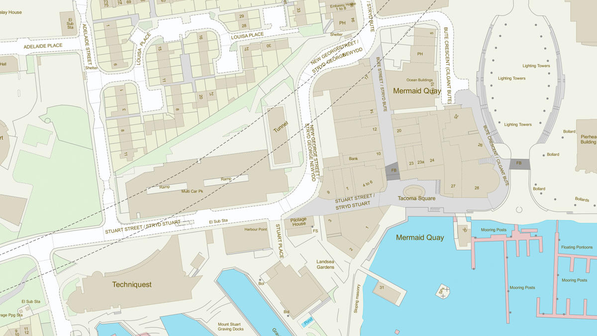
Using OS MasterMap Topography Layer gave TfL a “golden record” for geofencing, with an easy-to-understand reflection of the complex, real-world landscape the e-scooters were trialled in. This allowed TfL to determine the safest, most effective boundaries to ensure safety, while maximising the potential of e-scooters for greener transport.
Result
A streamlined dataset for e-scooter restrictions which were clear, accessible under the Public Sector Geospatial Agreement (PSGA), and accurate for use in geofencing, has helped TfL carry out the trial, underpinned by safety.
TfL are now able to assess whether e-scooters may be a greener alternative for travel in London, with potential benefits such as easing traffic congestion, reducing pressure on other transport systems, and helping improve air quality.
"We're doing all we can to support London's safe and sustainable recovery from the coronavirus pandemic, and it's clear that e-scooters could act as an innovative, greener alternative to car trips."

