OS Open Rivers
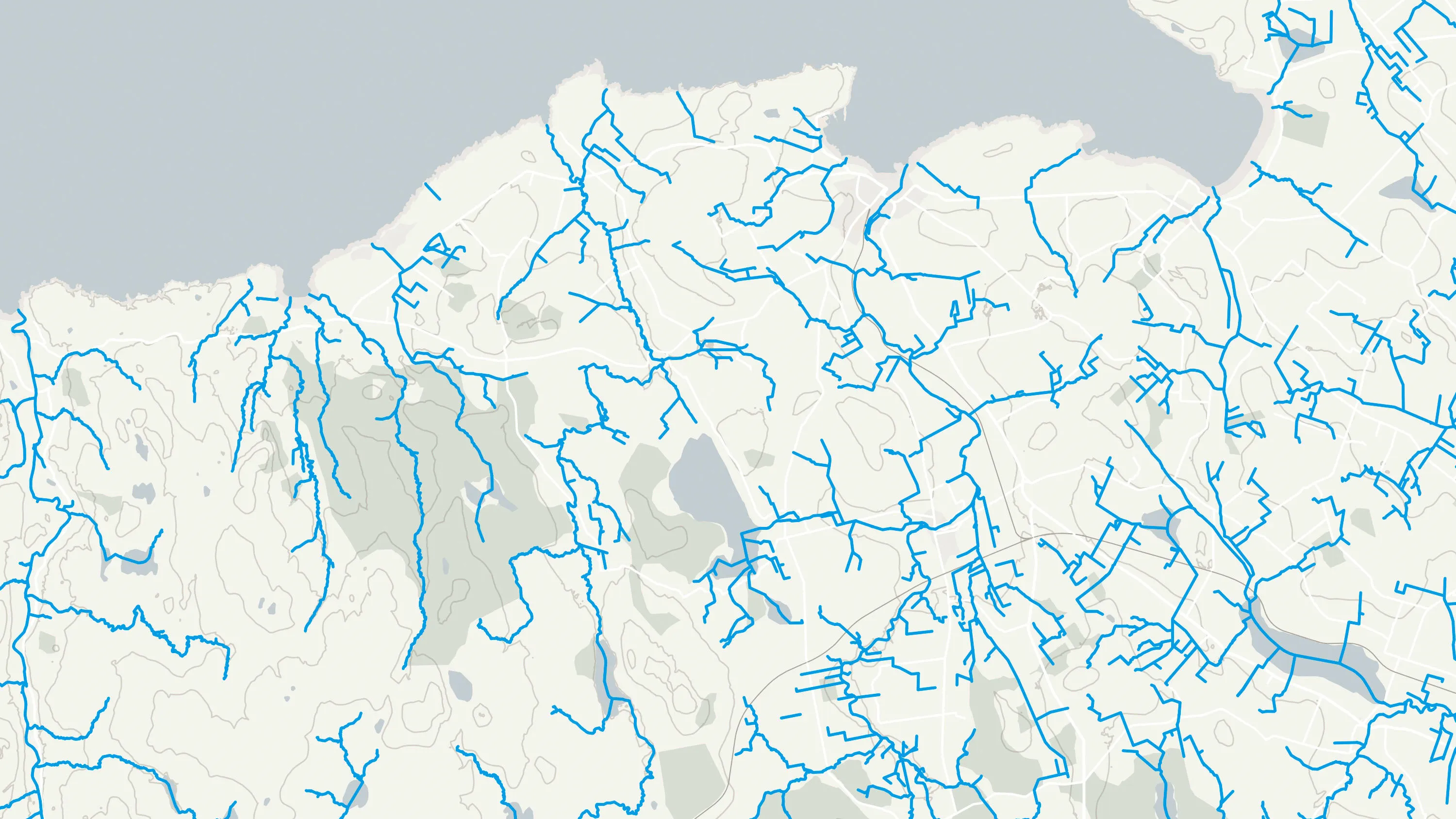
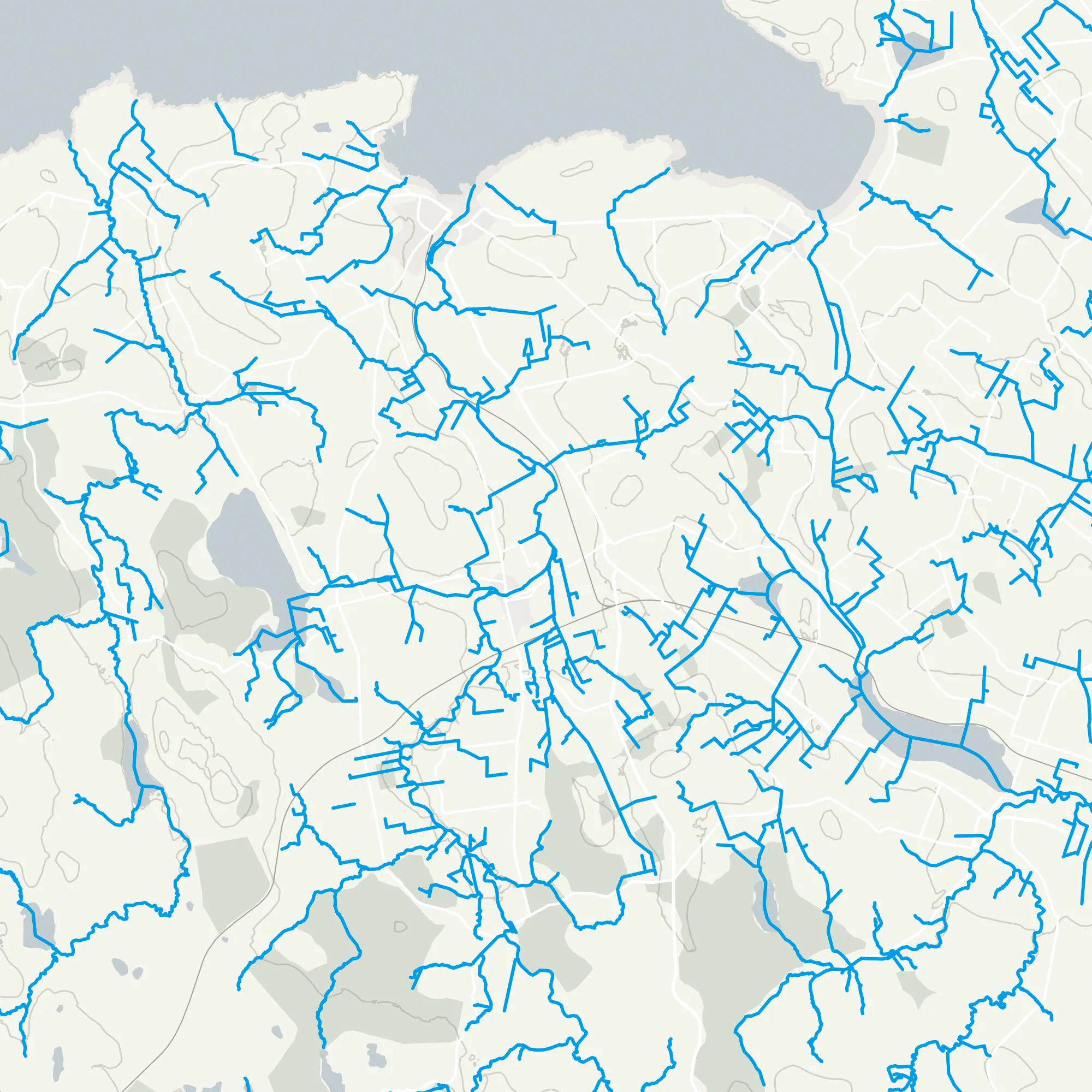
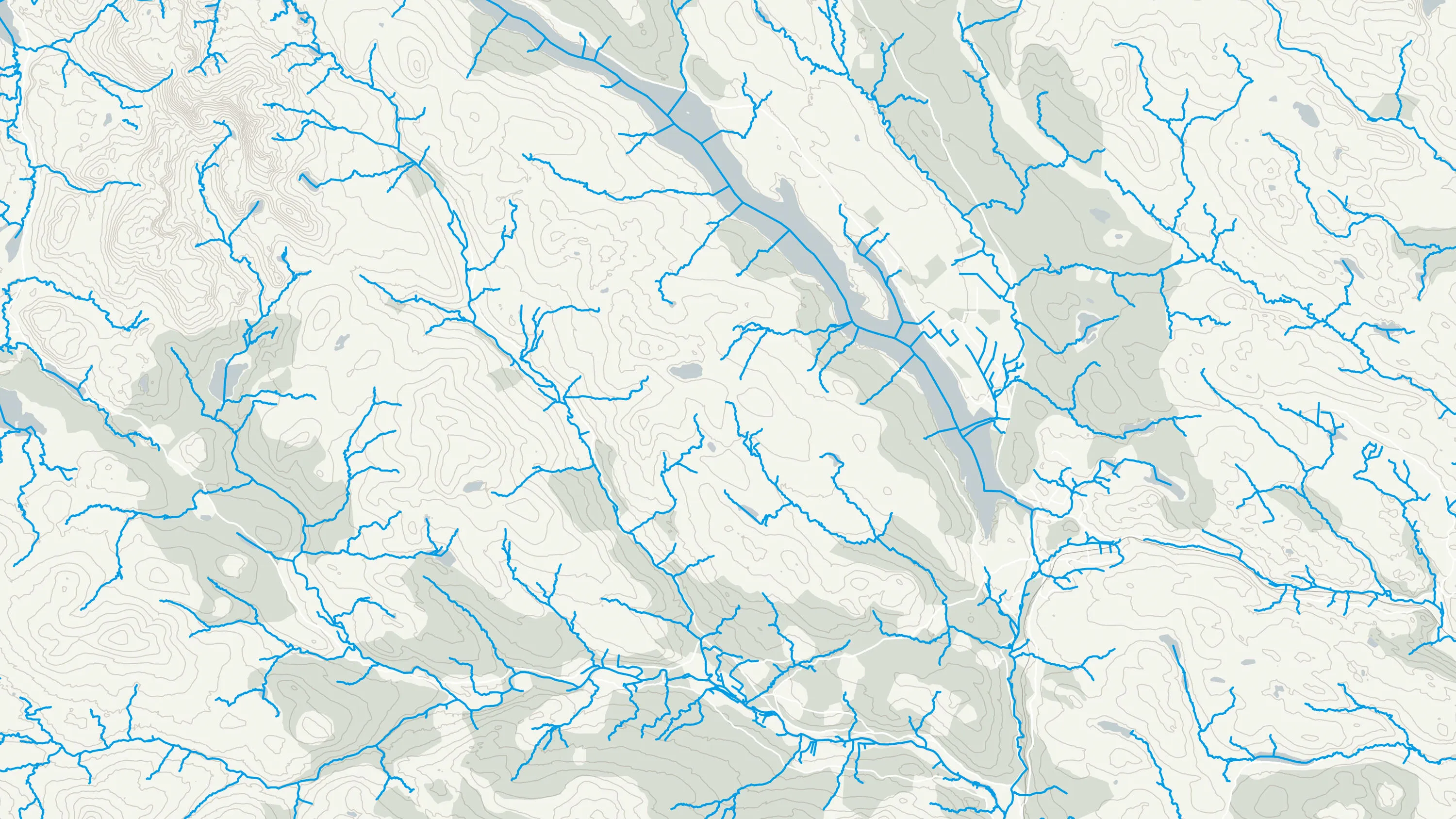
A free dataset showing the high-level view of watercourses in Great Britain. OS Open Rivers GIS data contains over 144,000 km of water bodies and watercourses map data. These include freshwater rivers, tidal estuaries and canals.
This product is updated every six months


