OS MasterMap Sites Layer

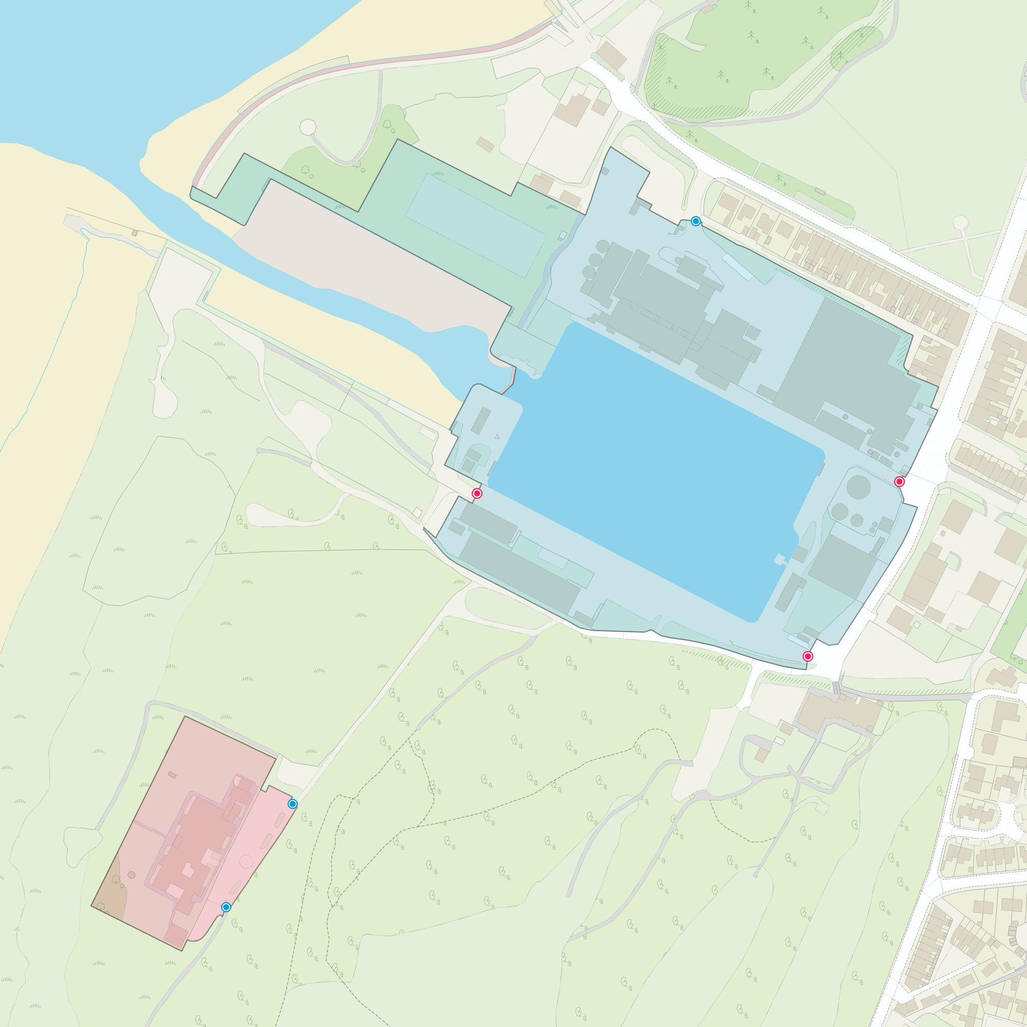
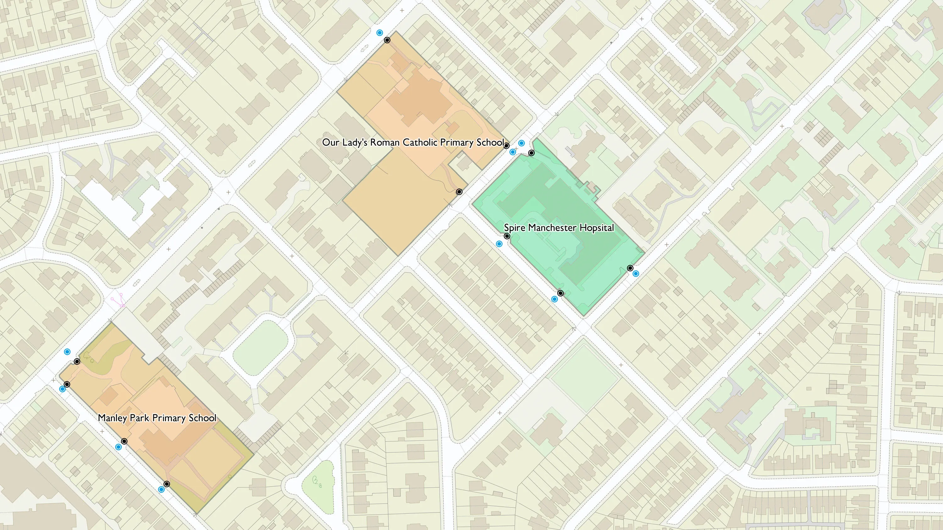
OS MasterMap Sites Layer shows what people see in the real world, where the common view of something (such as a school) is not the address, the main building or the playing fields, but is the site as a whole.

  • Topography
  • Download
  • Premium Plan
  • Public Sector Plan

This product is updated every six months
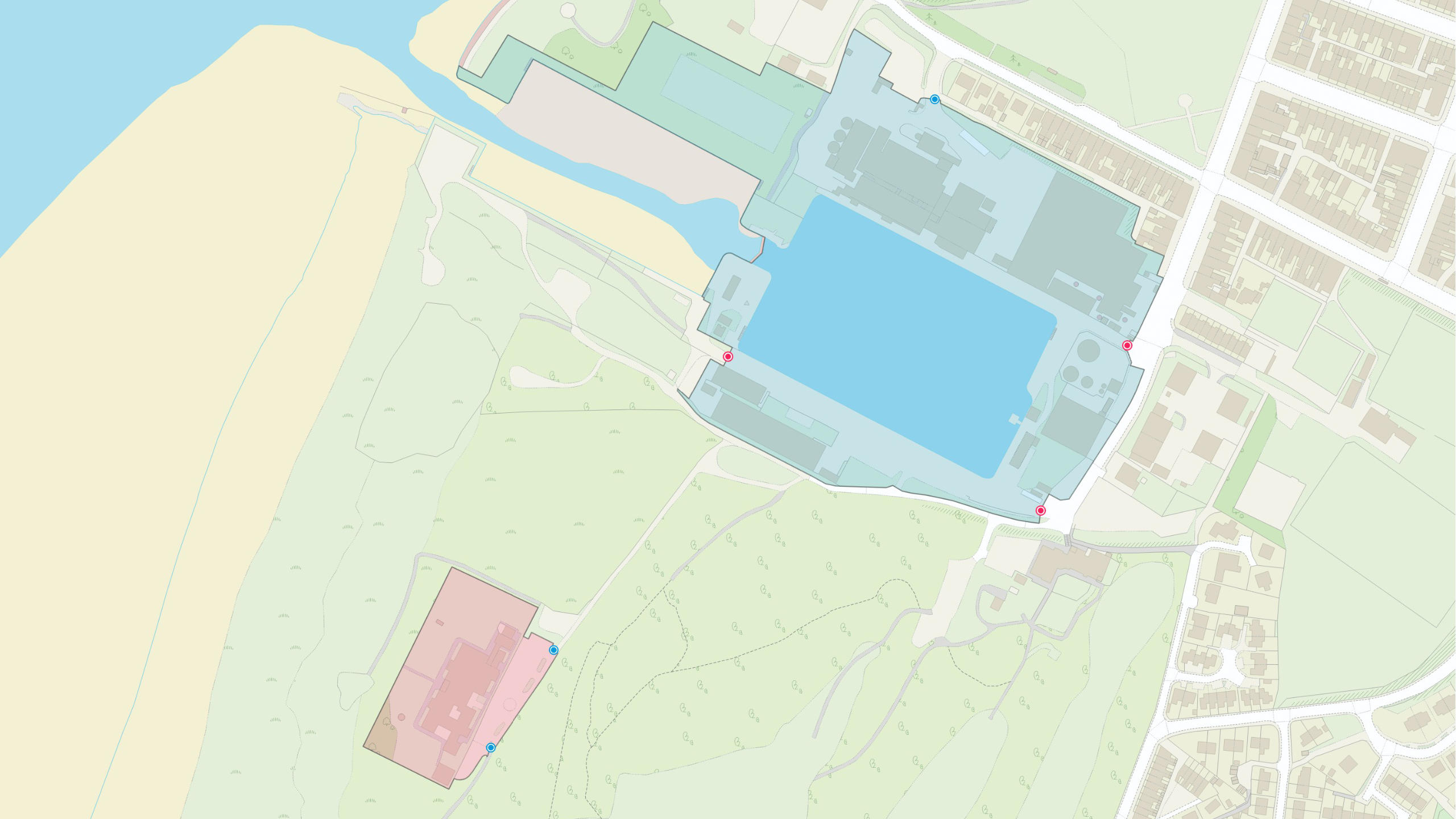
Representation of data provided

What OS MasterMap Sites Layer provides you with

Accurate risk analysis

OS MasterMap Sites Layer gives you an understanding of the wider geographic perspective, such as how assets interact with specific types of sites (for example, schools).

Find relevant access points

Identify where the most appropriate access points into a site are, enabling more detailed planning for emergency situations.

Enhanced analytics

OS MasterMap Sites Layer routing points enable more efficient responses and more effective deployment of resources.

Seven different themes

The OS MasterMap Sites Layer groups features into seven themes: Air transport Education Medical care Rail transport Road transport Water transport Utility or industrial Each feature is available as three feature types: functional site, access point and routing point.

Solve challenges

OS MasterMap Sites Layer can help you answer questions like ‘How close is this school to something?’ or ‘What would be affected in the event of an emergency?’.

OS MasterMap Sites Layer

Technical information

Specifications

Access
  • Download
Data theme
  • Land Use
Data structure
Vector - Polygons
Coverage
Great Britain
Scale
1:1250 to 1:10,000
Format
  • GeoPackage
  • Vector Tiles
  • GML 3.2.1
Ordering area
  • All of Great Britain or customisable area (5km2 tiles)
Publication months
  • April
  • October
OS Data Hub plan
  • Premium Plan
  • Public Sector Plan

Documents and Support

Getting started guides

  • OS MasterMaps Sites Layer - Getting started guide
    The getting started suide provides instructions for using the product in different software applications. Users with limited technical knowledge will be able to follow this guide.
    pdf
    v2.0
    1.6 mb
    October 3, 2022
  • Getting started with GeoPackage
    This guide helps you to get started using GeoPackage - a lightweight format that can contain large amounts of complex data in a single, easy to distribute and ready to use file.
    pdf
    v2
    1.11 mb
    September 30, 2021
  • Getting started with vector tiles
    This guide will help you to get started using vector tiles (MBTiles) – lightweight tiles that are efficient and quick to render in your software, letting you create customised, high-resolution, beautiful mapping.
    pdf
    v1
    845 kb
    September 23, 2022

Technical specification

Supporting documents

  • OS MasterMaps Sites Layer - Overview
    The overview introduces the product and gives context for all users. It highlights key features, provides examples of potential uses for the product and lists details like file sizes, supply formats, etc.
    pdf
    v2.1
    969 kb
    July 10, 2023
  • Product refresh dates
    Find out the update frequencies of our premium products and the calendar months that they are updated.
    link

Release notes

OS MasterMap Sites Layer

Get this product

What you get

Key features
  • Accurate risk analysis
  • Find relevant access points
  • Enhanced analytics
  • Seven different themes
  • Solve challenges
Category
Topography
Access
  • Download
Data structure
Vector - Polygons
Update frequency
Every six months

How to access

Businesses

Ordnance Survey's commercial network of Partners can help you with bespoke location solutions, derived from OS data

Ranging from global giants to single entrepreneurs, our Partners all use our location data to create innovative products and services. Their expertise ensures customers can benefit from using our data for a range of services. Find a partner for topography mapping requirements.

Find a Partner

Developers

Ready to get started with our data and APIs?

Choose your plan and create your account. Take the next step by signing up to the OS Data Hub and create your first project today.

Sign up to the OS Data Hub

Our Partners

Download Premium data from the OS Data Hub

If you're an OS Licensed Partner you can use the OS Data Hub to access OS data products and manage your account all in one place.

Read guidance for Partners

Government and public sector

OS Data Hub for PSGA members

If your organisation is a member of the Public Sector Geospatial Agreement, access the OS Data Hub to access our products.

Go to the OS Data Hub

Utilities and Telecoms

OS Connect support

Our Ordnance Survey Account Managers have specialist knowledge of projects for utilities and telecoms customers and should be your first point of contact for product enquiries.

Find OS Connect support

Get help

Further support

For further help about how our data can transform your organisation, contact us today

Contact us