Discover how Ordnance Survey data is driving more efficient decisions in organisations like yours.
Case Studies
- Page 1


The importance of access to green outdoor spaces in relation to health and wellbeing is clear. However, deprived areas are less likely to have access to green space and gardens.
In 2021 the Government allocated £9 million of funding to a ‘Levelling Up Parks Fund’ to help...


From fundraising for more greenspace, to underpinning neighbourhood planning, to creating a public art trail, Histon and Impington Parish Council show how councils can make the most of OS mapping.
Supplied under the Public Sector Geospatial Agreement (PSGA), councils across Great Britain c...


With greenspaces a growing priority for those helping shape the built environment, fast and efficient research, analysis, and data is crucial for more sustainable development.
OS Partner, MapServe, work with various clients, from architects and town planners, to arboculturists – peop...


Natural England, the agency responsible for helping protect England’s natural environment, have announced that all new planning proposals covering Hampshire’s Solent waterways and wetlands, must be “nitrate neutral”.
Nitrate pollution, often caused by chemical ferti...


Tim Hopkin comes from three generations of farmers, and is revolutionising the way complex land use decisions are made, through the creation of The Land App.
The Land App is an admin tool for the British countryside, available for use by the nation’s landowners, land agents and manag...


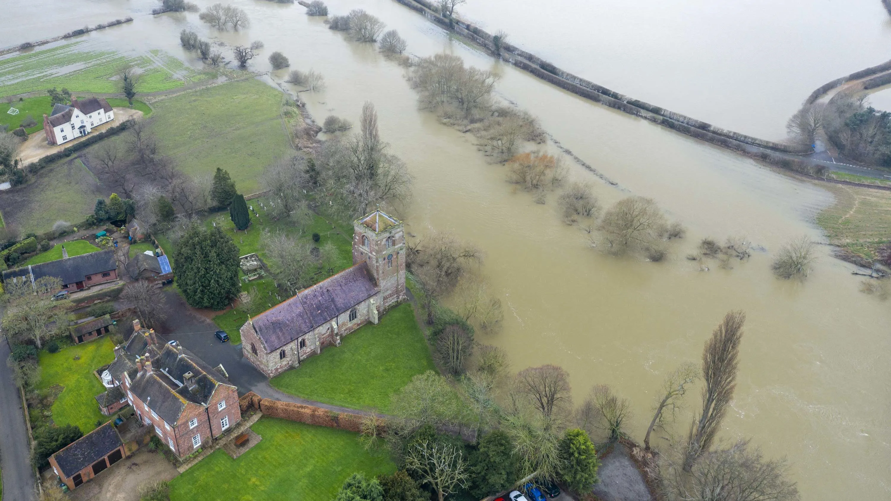
The Environment Agency (EA) manages and mitigates flood risk throughout England, helping to reduce impacts of flooding.
The EA worked with Ordnance Survey (OS) to update and improve their existing property dataset – critical to the EA’s ability to assess flood risk and respond...


The National Library of Scotland (NLS) maintains one of the largest map collections in the world, offering public access to both their physical archives, and a digital view of historic and modern landscapes.


OS worked with Northumberland County Council to help them increase rates of recycling and reduce the amount of waste sent to landfill.


Dubai is a rapidly developing city. This growth has had a big impact on the natural environment, natural resources and native habitats.
Satellite Earth Observation (EO) data has long been an important source of information for measuring and monitoring how the environment is changing. Howev...