Discover how Ordnance Survey data is driving more efficient decisions in organisations like yours.
Case Studies
- Page 1


The Metropolitan Police is the UK’s largest police force. It polices 620 square miles and serves more than eight million people across one of the world’s most dynamic and diverse cities.
Part of its mission is to seize the opportunities of data and digital technology. To help a...


The first duty of the government is to keep citizens safe and the country secure.
Working with 29 separate agencies and public bodies including the Police Advisory Board for England and Wales, the Security Service, the Advisory Council on the Misuse of Drugs, Gangmasters and Labour Abuse A...


The Scottish Fire and Rescue Service is working with OS to keep firefighters safe when attending emergency incidents. Their Operational Intelligence system gives teams risk information and mapping for the whole of Scotland at their fingertips, wherever they are, via new cutting edge detachable ta...


Public Health England reported in June that the rollout of the Covid-19 vaccine has prevented up to 7.9 million infections and up to 28,000 deaths in England.
With almost 50 million adults in England needing two doses of the vaccine, the programme needed comprehensive analytical input and...


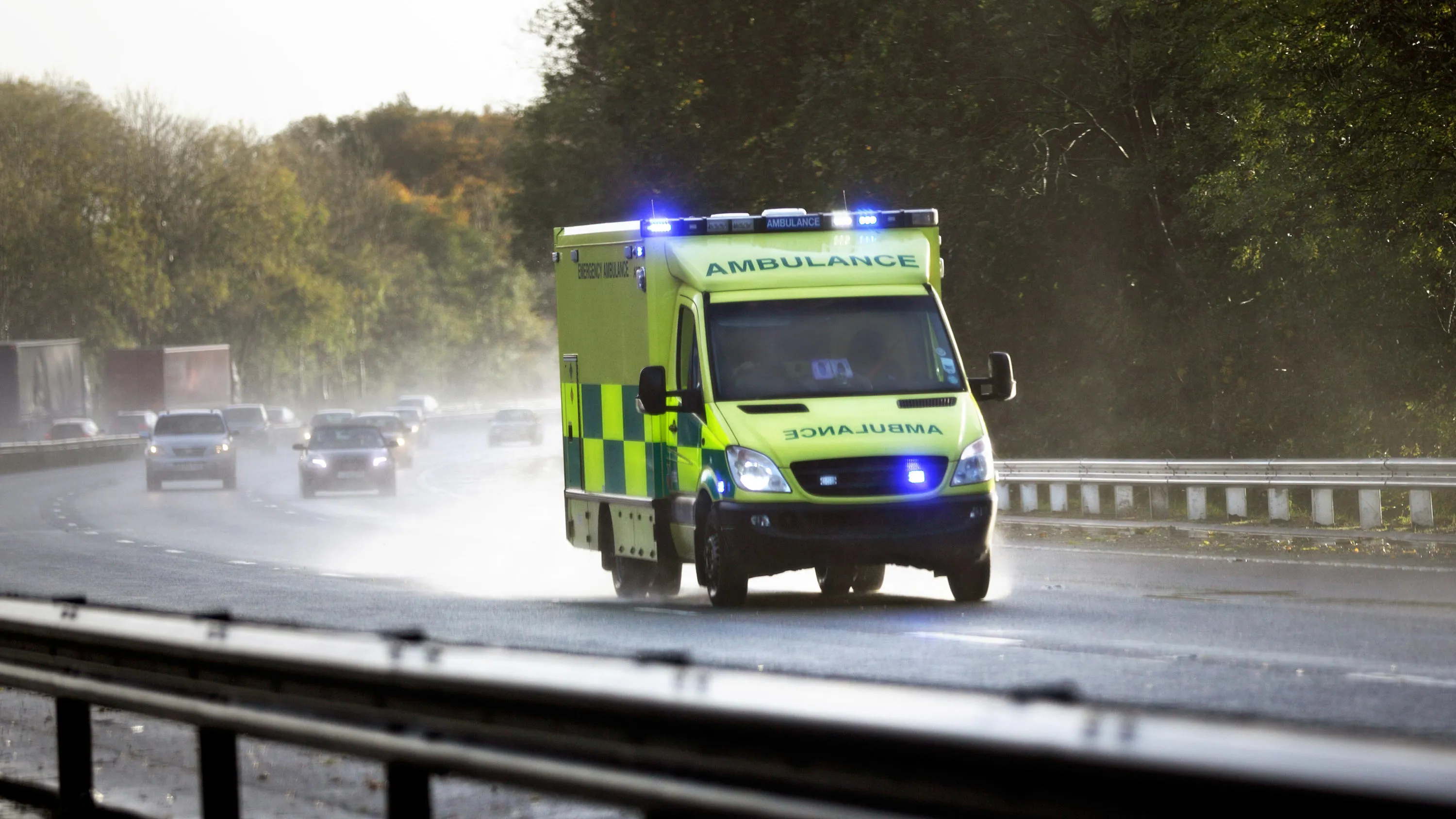
London Ambulance use AddressBase Premium data to locate addresses when responding to 999 calls. When an address is provided to the call handler, they can verify the address using AddressBase Premium, which also provides the grid reference. The grid reference and the address enable the a...


NHS Lothian delivers care for patients who’ve had kidney transplants or have chronic kidney disease. At the start of Britain’s COVID-19 measures, OS used its Points of Interest and OS Highways data to help identify safe and accessible locations for a mobile team to...


South Central Ambulance Service NHS Foundation Trust (SCAS) is one of ten ambulance NHS Foundation Trusts in the UK. SCAS provides 999 and 111 services in Hampshire, Oxfordshire, Berkshire, Buckinghamshire and Patient Transport Services across the same footprint as well as in Surrey and Sussex. S...


Helping the Maritime and Coastguard Agency (MCA) find and deal with incidents at sea quickly.
FINTAN was developed by the Ordnance Survey (OS) research department to enable the capture, storage and display of vernacular information about the names local people use to refer to locations. MC...