Blog
Read location data and geography related stories and commentary
- Page 1
How OS surveying is taking off
OS now has 24 UAS operators or drone pilots, complimenting over 200 surveyors across Great Britain who can mobilise quickly to capture landscape changes.
Showcasing the power of maps
British fashion designer Anya Hindmarch partners with OS to showcase the power of maps.
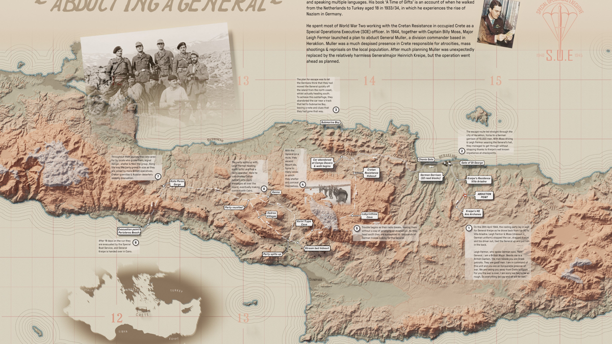
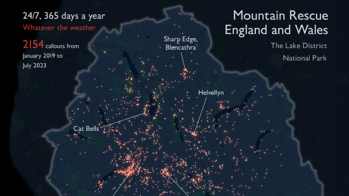
Ordnance Survey’s favourite maps of 2023
Experts pick nine incredible data visualisations from the past 12 months you have to see
Greener, happier, healthier
Nottingham City Council has been working with guidance from Natural England to create and carry out their greenspace strategy.
House prices: the Office for National Statistics’ hedonic model
The Office for National Statistics (ONS) holds statistics regarding house prices, impacted by certain factors - location, building characteristics, the surrounding environment - where OS can advise.
The 30 Day Map Challenge 2023
The 30 Day Map Challenge, 2023 - map and data visualisation enthusiasts creating a map each day based around a daily theme.
National Highways making road journeys safer
With a clear and accurate picture of its total land footprint, National Highways can manage and maintain the network more easily – freeing up time, money, and resource for other projects, keeping goods and services flowing around the country, and, most importantly, making the network safer.
Are we there yet?
Understanding the travel time between places across England and Wales, with the Office for National Statistics.


